The School of Earth Sciences participated in the 2022 Symposium of the Geodetic Reference System for the Americas (SIRGAS)
Between November 7 and 9, 2022, the Division of Geodetic Science, School of Earth Sciences (SES) participated in the annual SIRGAS symposium in Santiago de Chile, Chile. SIRGAS is a pan-American organization formed by regional government agencies of Geodesy and Cartography, universities and research centers, which aims to define and maintain a continental geocentric reference frame, a unified vertical reference system, a regional gravimetric geoid model, and a continental absolute gravity network.
Two SES faculty members, Dr. Michael Bevis and Dr. Demián D. Gómez, and three Geodetic Science / SES students, Mara Figueroa, Franco Sobrero, and Ben Kurtz participated in the event and presented their research to the geodetic community of the Americas and the Caribbean. Student participation in this meeting was supported by the Friends of Orton Hall Fund.
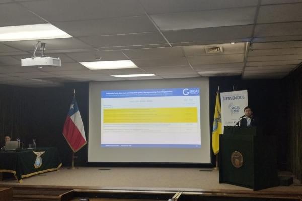
Dr. Bevis presented the advances on the Bolivian gravity network based on a new gravity measurement protocol. Dr. Gómez, who serves as Chair of the SIRGAS Working Group 2 in charge of Education, Training, and Capacity Building in Geodesy, presented a summary of the 2022 Working Group 2 activities. In a second presentation, Dr. Gómez showed the results of his latest research on the inheritance of seasonal displacement parameters for ITRF-consistent geodetic reference frames realization. Mara Figueroa gave an oral presentation on coseismic deformation models in low-density GNSS networks, while Franco Sobrero participated with a poster on the assessment of the geodetic capacity of UN member States in the Americas.
Immediately following the SIRGAS symposium, the International Federation of Surveyors (FIG) organized the ‘Reference Frames in Practice’ (RFIP) seminar. This technical seminar aims to disseminate tools, techniques, and procedures related to the use of modern geodetic reference frames to educate and train surveying professionals. SES students Figueroa and Sobrero participated in the RFIP seminar as presenters and also facilitated translations between English- and Spanish-speaking presenters and attendees.
