OSU receives NSF funding to survey hurricane aftermath in USVI

Professor Derek Sawyer received a grant from the National Science Foundation to acquire multibeam maps and sediment samples in St. John (USVI) to document erosion and deposition in response to two Category 5 hurricanes (Irma and Maria) that hit the region in September. Sawyer's research team conducted pre-hurricane surveys last summer. The new post-hurricane data will allow a detailed comparison of changes to the bay floor and where deposition and erosion occur in response to hurricanes as well as to clarify how hurricanes are manifested in the rock record. The team returned from the post-hurricane mapping trip on December 6 and immediately headed to the Fall American Geophysical Union to present preliminary results.
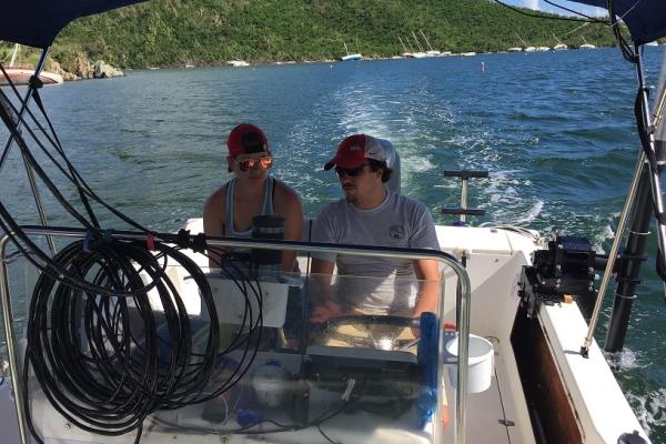
The scientific team included 2 of Sawyer’s PhD students Trevor Browning and Brandi Lenz (pictured). These new datasets will be included as an important component of Trevor’s doctoral thesis on erosion of tropical volcaniclastic islands as well as other student thesis projects. Multibeam mapping will provide detailed information on the net change over the entire bay. Approximately 100 grab samples will provide sedimentologic information, and 6 cores will be provide age-dating and stratigraphic information. Water samples will be analyzed for chemical constituents.
