News
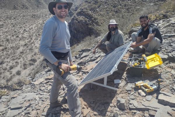
Gómez group heads to Argentina
Between October 5 and 13 the research group from the Central Andes GNSS Project in Argentina, lead by Demián Gómez, performed maintenance tasks to continuous GNSS stations in the Argentine…
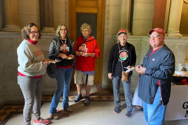
Homecoming Alumni Celebration
As part of the celebrations around University Homecoming, the School of Earth Sciences held a brunch on Saturday morning, October 7, in Orton Hall. Returning alumni had a great opportunity to meet…
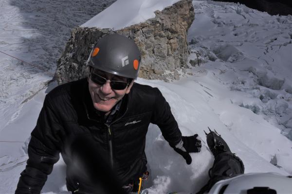
‘Canary’ documentary featuring Ohio State scientist delivers climate message
ORIGINALLY POSTED BY OHIO STATE NEWS. Press release published by Tatyana Woodall (woodall.52@osu.edu).
Lonnie Thompson has…
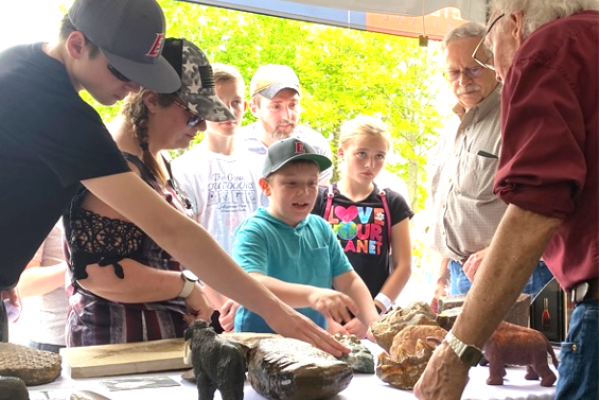
Outreach and Engagement at the Orton Museum
Since its inception, the Orton Geological Museum, along with its parent unit, the Department of Geology (now the School of Earth Sciences), has maintained a close link with the community. Both the…
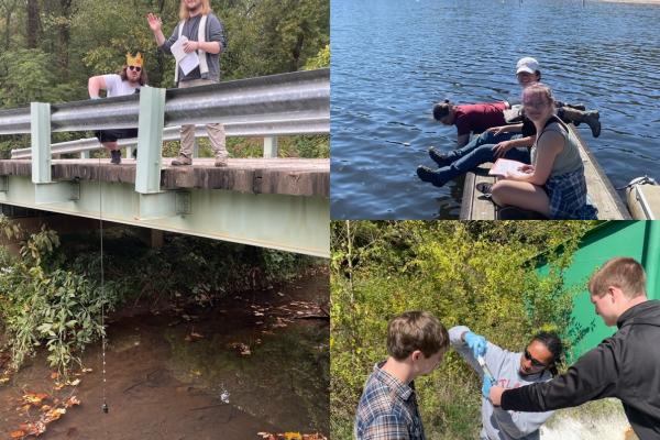
Students Measure Geochemistry in the Field
Students Measure Geochemistry in the Field
In September, the Introduction to Geochemistry class (taught by Professor Liz Griffith) traveled to southeast Ohio to look at water quality…
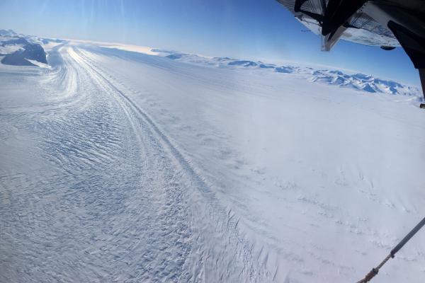
Connections between Tropical Pacific Climate and Amazonian Rainfall as Recorded by High-Mountain Glaciers in Peru
ORIGINALLY POSTED BY BYRD POLAR AND CLIMATE RESEARCH CENTER
A recent study published in the Journal of Geophysical Research: Atmospheres is the first to examine the oxygen…
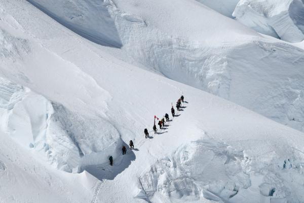
Study by Alum Jamey Stutz Shows Byrd Glacier's Accelerated Inland Thinning During the Genesis of the Ross Ice Shelf in Antarctica
ORIGINALLY POSTED BY BYRD POLAR AND CLIMATE RESEARCH CENTER
Precise dating of glacial deposits from Byrd Glacier's Lonewolf Nunataks shows that one of the world's…
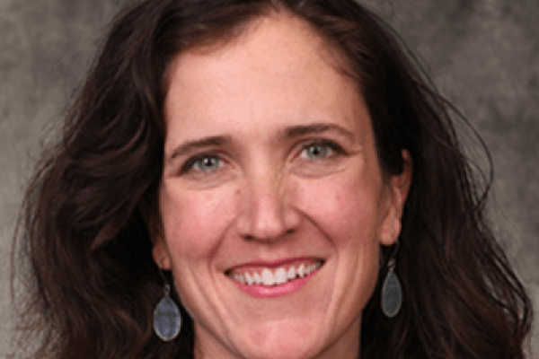
Congratulations to Sarah Fortner, 2023 Lois M. Jones Award Recipient!
ORIGINALLY POSTED BY BYRD POLAR AND CLIMATE RESEARCH CENTER
Dr. Sarah Fortner has been honored with the 2023 Lois M. Jones Award for her outstanding contributions to Science…
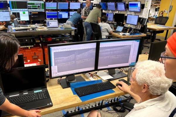
SES at Sea: Krysova in the South Atlantic Bight
As part of our highlight of SES adventures at sea, we follow undergraduate student Anastasiia Krysova on her voyage aboard the Langseth. She shares:
This summer I participated in an…