Seminar: Patrick Bassal – Soil Liquefaction Effects in İskenderun in the 2023 Kahramanmaraş Earthquake Sequence

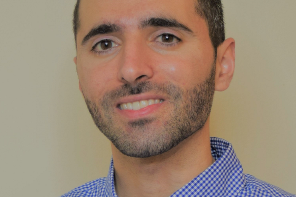
Patrick Bassal
August 30, 2024
1:45 pm - 2:45 pm
ML 291 or online using the Zoom link

Date Range
2024-08-30 13:45:00 2024-08-30 14:45:00 Seminar: Patrick Bassal – Soil Liquefaction Effects in İskenderun in the 2023 Kahramanmaraş Earthquake Sequence Soil Liquefaction Effects in İskenderun in the 2023 Kahramanmaraş Earthquake SequenceAbstract: The 2023 Kahramanmaraş earthquake sequence in Türkiye produced extensive liquefaction in the port city of İskenderun. Geotechnical reconnaissance observations in İskenderun following the earthquakes included seaward lateral spreading, settlement beneath buildings, failures of coastal infrastructure, and ongoing coastal flooding. These liquefaction effects were predominantly concentrated along the shoreline in areas of reclaimed land. Field observations, lidar scans, subsurface data, historic insights, and remote sensing analyses are being used to investigate the unique ground deformation patterns and building settlement mechanisms associated with liquefaction. This presentation will provide an overview of the Geotechnical Extreme Events Reconnaissance (GEER) Association Phase 3 observations, as well as recent investigations and analysis efforts for developing unique lessons from these liquefaction case histories. Click this Zoom link to join the seminar.  ML 291 or online using the Zoom link America/New_York public

Soil Liquefaction Effects in İskenderun in the 2023 Kahramanmaraş Earthquake Sequence

Abstract: The 2023 Kahramanmaraş earthquake sequence in Türkiye produced extensive liquefaction in the port city of İskenderun. Geotechnical reconnaissance observations in İskenderun following the earthquakes included seaward lateral spreading, settlement beneath buildings, failures of coastal infrastructure, and ongoing coastal flooding. These liquefaction effects were predominantly concentrated along the shoreline in areas of reclaimed land. Field observations, lidar scans, subsurface data, historic insights, and remote sensing analyses are being used to investigate the unique ground deformation patterns and building settlement mechanisms associated with liquefaction. This presentation will provide an overview of the Geotechnical Extreme Events Reconnaissance (GEER) Association Phase 3 observations, as well as recent investigations and analysis efforts for developing unique lessons from these liquefaction case histories.


Click this Zoom link to join the seminar.


Events Filters: